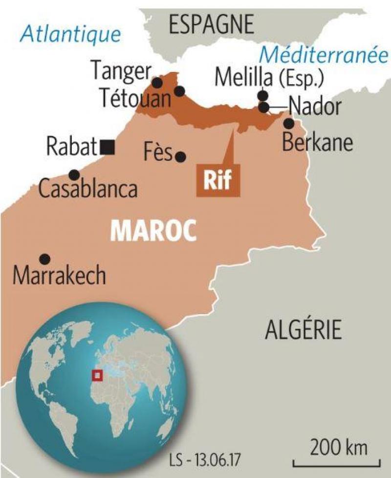
The Rif — in Rifian : ⴰⵔⵔⵉⴼ, Arrif (“shore, edge”), is the northern region of Morocco, bordered by the Mediterranean Sea to the north, Algeria to the east, the plains separating it from the Middle Atlas to the south and the Atlantic Ocean to the west. Composed of mountains and plains, the Rif stretches for nearly 500 km from Tangier to the Moulouya.
The greater Rif region is subdivided into three areas. The Eastern Rif (Melilla, Driouch, Nador) and the Central Rif (Al Hoceima, Targuist) correspond to the northeast of Morocco, both inhabited by the Rifians. The Western Rif (Tétouan, Chefchaouen), also called the Tingitan peninsula, occupies the northwest of Morocco; it is mainly inhabited by the Jbala, Ghomara and Sanhadja de Srayr.
Discover the Eastern Rif
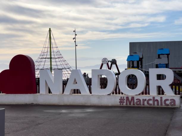
As for the Eastern Rif, it mainly includes the towns of Nador, Berkane, Driouch and Melilla. The largest city in this part of the Rif is Nador. This region has a Mediterranean climate. Made up of mountains and plains, the Eastern Rif will charm you.
Discover the Central Rif
The Central Rif stretches roughly from the Kétama area to Ait Said.
It is a Berber-speaking region largely inhabited by the Rifians.
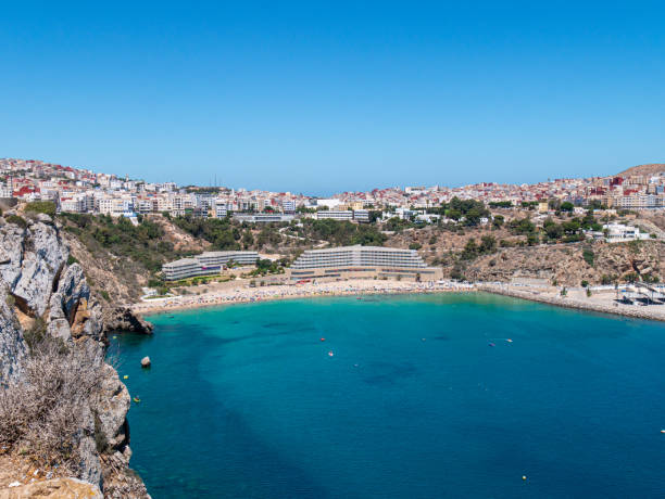
The main towns in this region are Al Hoceima, Targuist, Imzouren, Beni Bouayach, Ketama and Taounate. Al Hoceima is the capital of the Central Rif. For a relaxing holiday, Al Hoceima will suit you perfectly. With its many beaches, come discover the Rif and disconnect for a while.
Originally a term designating part of the Mediterranean coast of Morocco around Al-Hoceima as well as the mountainous hinterland and, today, the massif extending in an arc from Tangier, in the west, to Melilla in the east: the Rif covers about 30,000 square kilometers.
The mountains, not very high, rarely exceed 1,500 meters (except in the central ridge: djebel Tidirhine, 2,452 m), but they are very rugged, cut by deep valleys; they are relatively humid and partly covered with forests (holm oaks, cork oaks, cedars) or maquis. This results in great communication difficulties, aggravated by the existence during the colonial period of a French zone and a Spanish zone.
The Rif mountains, although difficult to develop, are densely occupied by sedentary populations, mostly of Berber origin, settled for a very long time. Smallholder farmers and fruit growers carefully cultivate narrow fields, using water from springs or torrents for irrigation. The crops are very varied. In the upper Central Rif, several tribes continue to cultivate Indian hemp (kif). Livestock farming is only a supplemental resource. The population, very dense, lives in thatched-village settlements surrounded by tiny gardens. The mountains are overpopulated in many places: their resources are not sufficient to feed the inhabitants who seek supplementary income through crafts or emigrate to the cities or even to industrial Europe. Tourism is developing, especially near the most important Mediterranean resorts (Saïdia, Tétouan, Al-Hoceima, Nador). To the east, several iron deposits are exploited; the extracted ore is exported via the Spanish enclave of Melilla.
The Rif experienced a particularly turbulent history: independent in the old Morocco, it was crossed by conflicts between tribes; then, faced with colonization, it put up serious resistance to French and Spanish troops (the Rif War led by Abd el-Krim, 1921–1924) and rose up again at the beginning of Moroccan independence, in 1956.
sources: